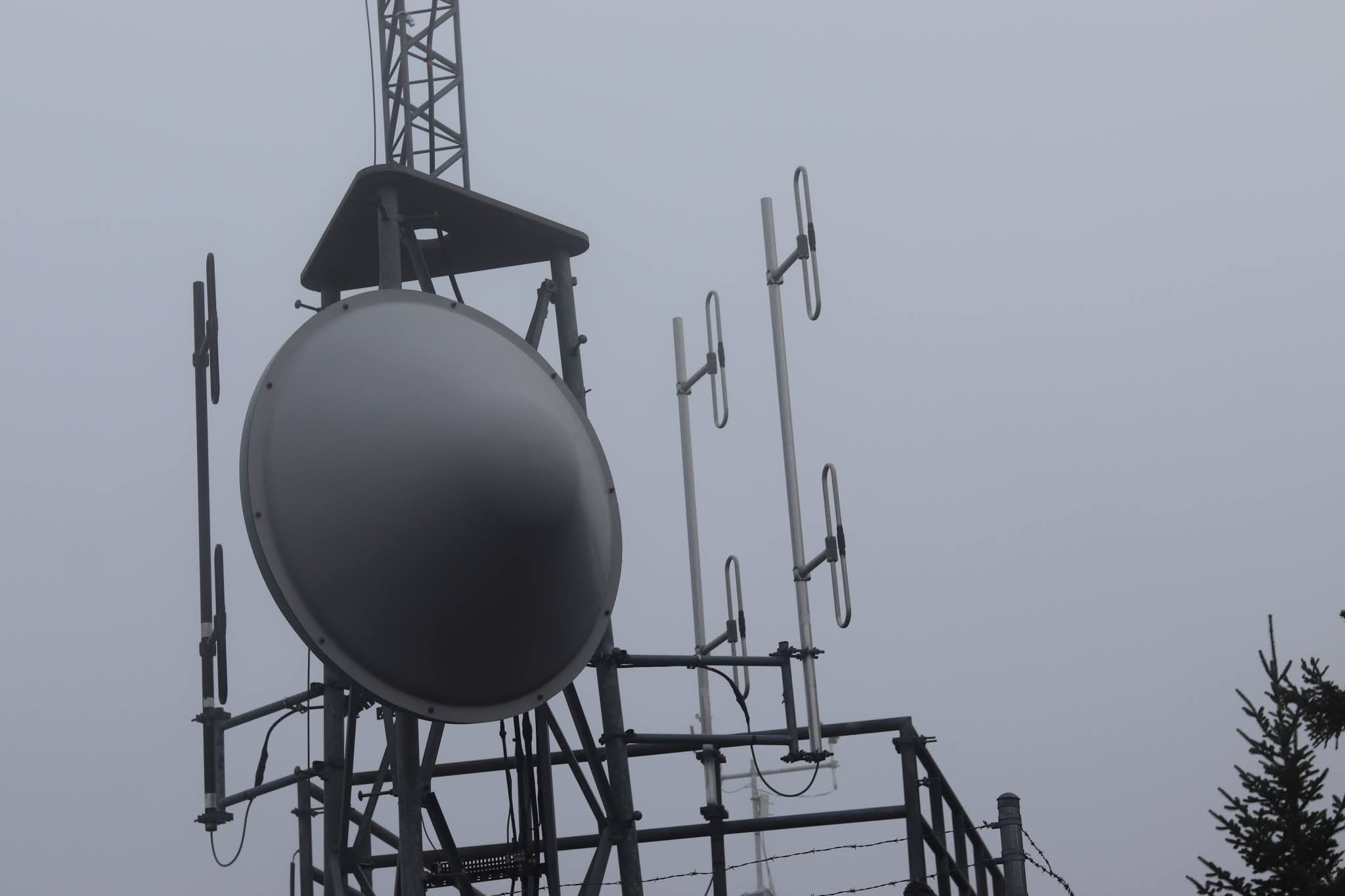
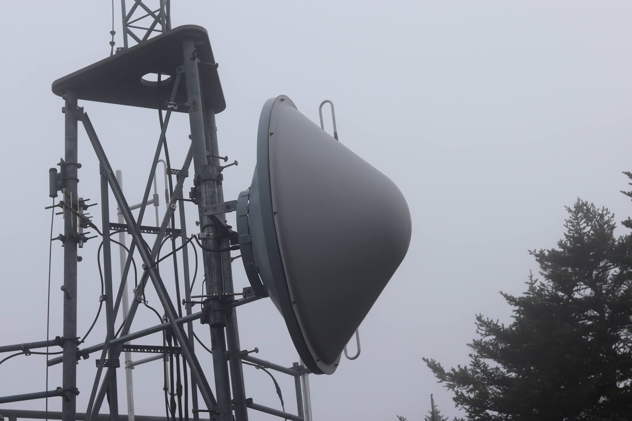
As you driving along the Cadillac Summit Road, and approaching the summit, you come to a dirt road on the right with a strange post with the large numbers, 11, 12, 13 on the post, located a locked gate. If you walk a short ways up that dirt road, the one to the left, (the one to the right is a dead end) you come to a government instillation with antenna towers and various buildings located in a well fenced in and locked area. The reason I even stumbled upon this location was because the Green Mountain Railway route passed close to this area. I did come across another find, but I will not post about it, as I am pretty certain the Park Service would not like it as it is not fenced in.


Dirt road with gate;
N 44 21.127 W 068 13.666
fenced in installation;
N 44 21.112 W 068 13.610
No comments:
Post a Comment
Note: Only a member of this blog may post a comment.