Brewer Mountain is just one site that the Bar Harbor water company has abandoned over the years. There are two more sites it abandoned on the sides of Great Hill, one being the Water Tower of great Hill. It lays at rest like a sleeping giant in the shadow of trees.
 |
| Old Road Leading Through Woods to Water Tower |
Many years ago the narrow dirt road leading up to the tower was clear and easy to see, but not so today. Wild brush has been allowed, or even encouraged, to grow up in the center of the dirt road, and the rusting chain that stretches across the road is hard to see through the brush.
But iff you know where to look, this sleeping giant can be all yours for a day.

From the Eagle Lake road, Route 233, drive until you come to the Duck Brook road on your right, just before Eagle lake. Drive down the Duck Brook Bridge Road until you come to the end at Duck Brook Bridge and the carriage roads. Almost across from where cars park is a wide open clearing on the side of Great hill with a road leading up to the current Bar Harbor water system. And than there's that small building on the other side of the roadway. Almost across from that building, and not far from the road leading up to the current water system, look for an old rusting chain the blocks the start of the
 |
| Great Hill water Tower - Acadia National Park |
water Tower road. Once you cross the chain and start up the road, the brush ends and the road can be much easier seen. You don't have very far to go before you come up to the huge water tower.
Today it sets abandoned, but it is a prize for those who are into exploration.
 |
| GREAT HILL WATER TOWER Acadia National Park |

 |
| Old chain blocks old road |

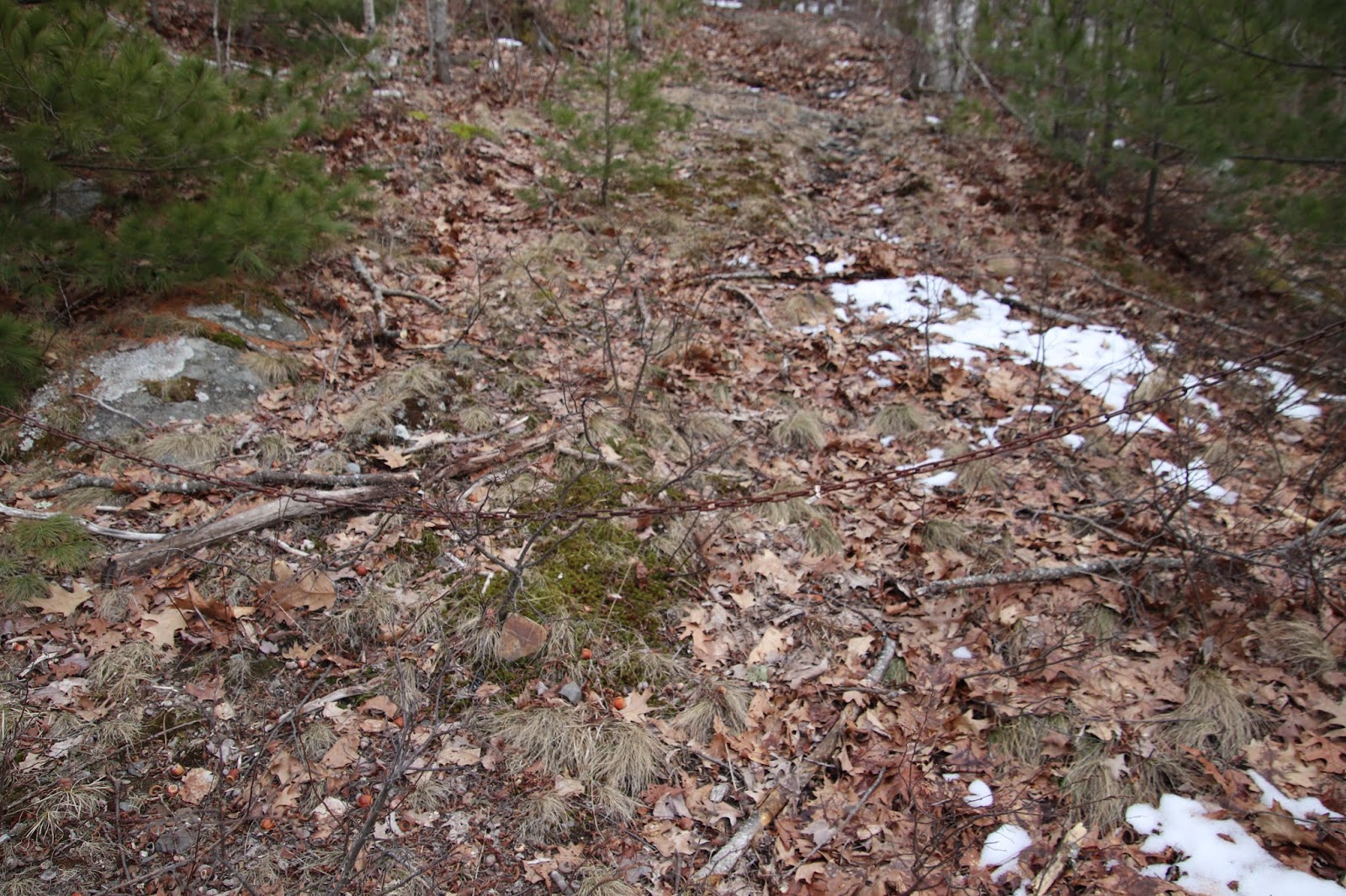 |
| Here you can see how low the chain hangs |

Photo above is a view along the road, looking back toward Duck Brook road, you can see the water company building in background. As you can see from this photo, once you get beyond the brush by the roadside, the old road is very well defined and easy to follow right up to the tower.


GPS for start of over grown dirt road leading to water tower - N 44 23.41`9
W 068 14.143